
Oil Creek State Park Waterfalls
Click on a thumbnail to begin the slideshow.

Gerard Hiking Trail Map
Oil Creek State Park Map
- The lower falls is visible off a short path from the bike trail by walking north from Miller Farm Road. The falls is on the left.
- The upper falls is visible from a short trail off Miller Farm Road. Travel north from the bike trail toward the Wolfkiel camping shelter parking. Look for the sign along the right side of the road.
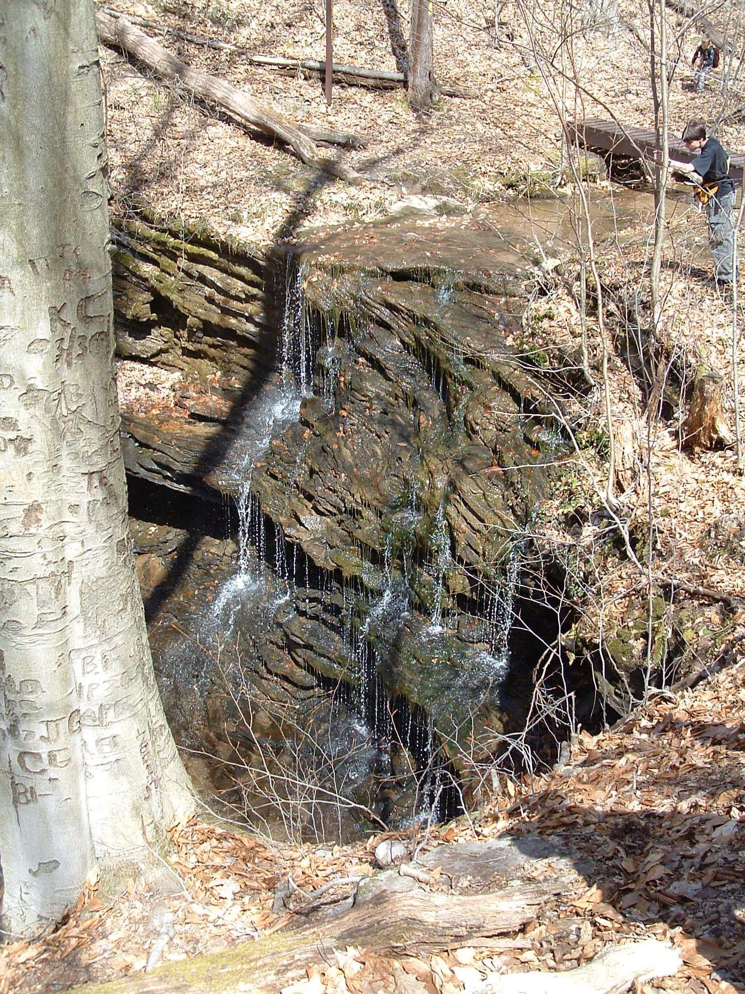
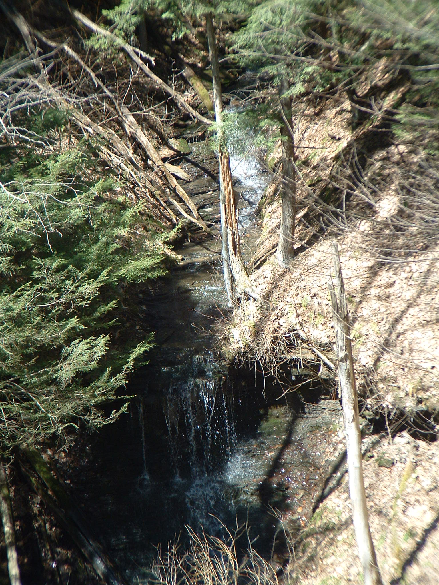
Miller Falls
- The falls can be seen by walking south from the intersection of Miller Farm Road and the east side Gerard Hiking Trail
- Parking is available at the bottom of the hill at the Miller Farm bridge.
- Follow the trail south to the overlook.
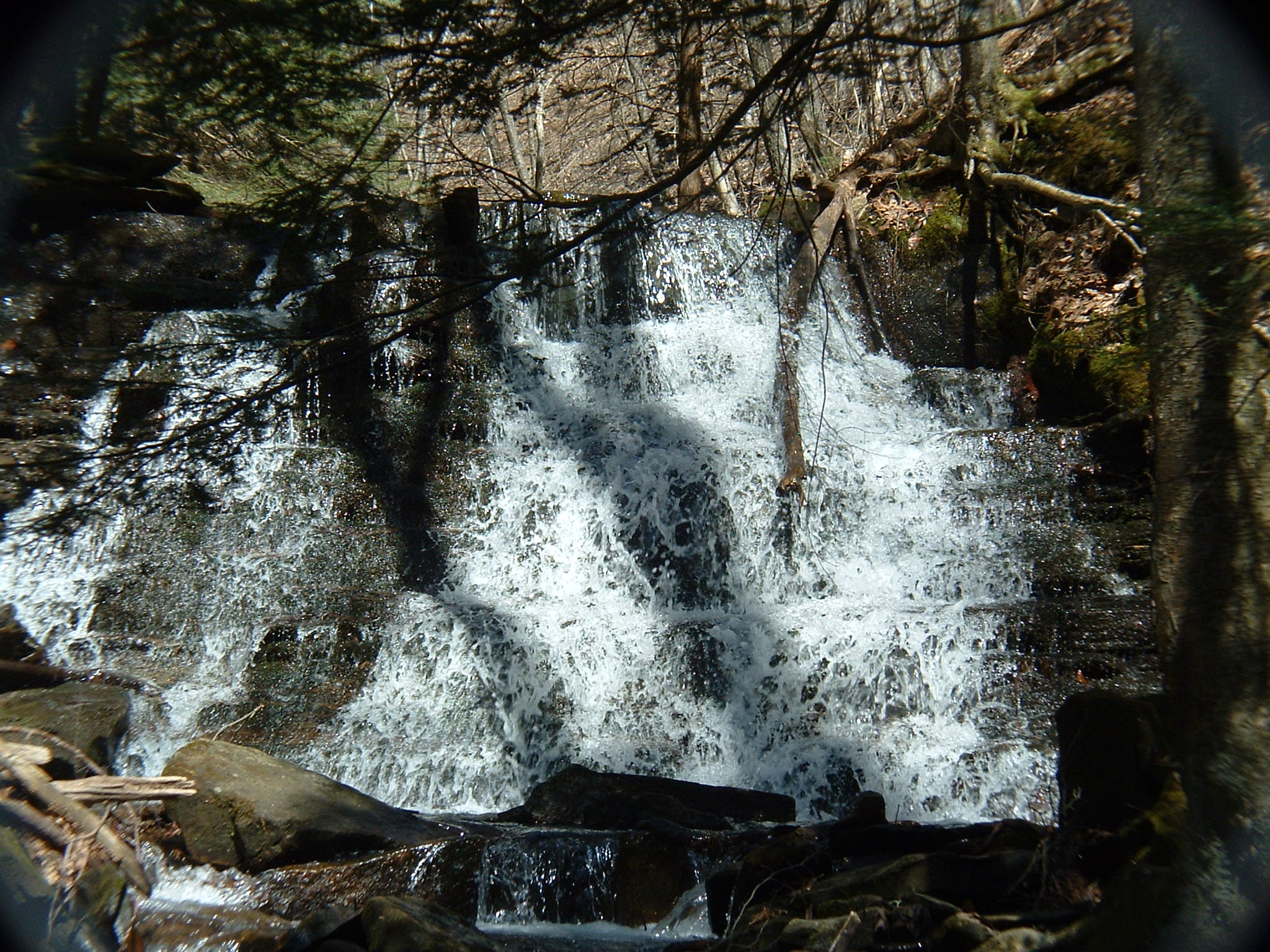
Plum Dungeon Fall
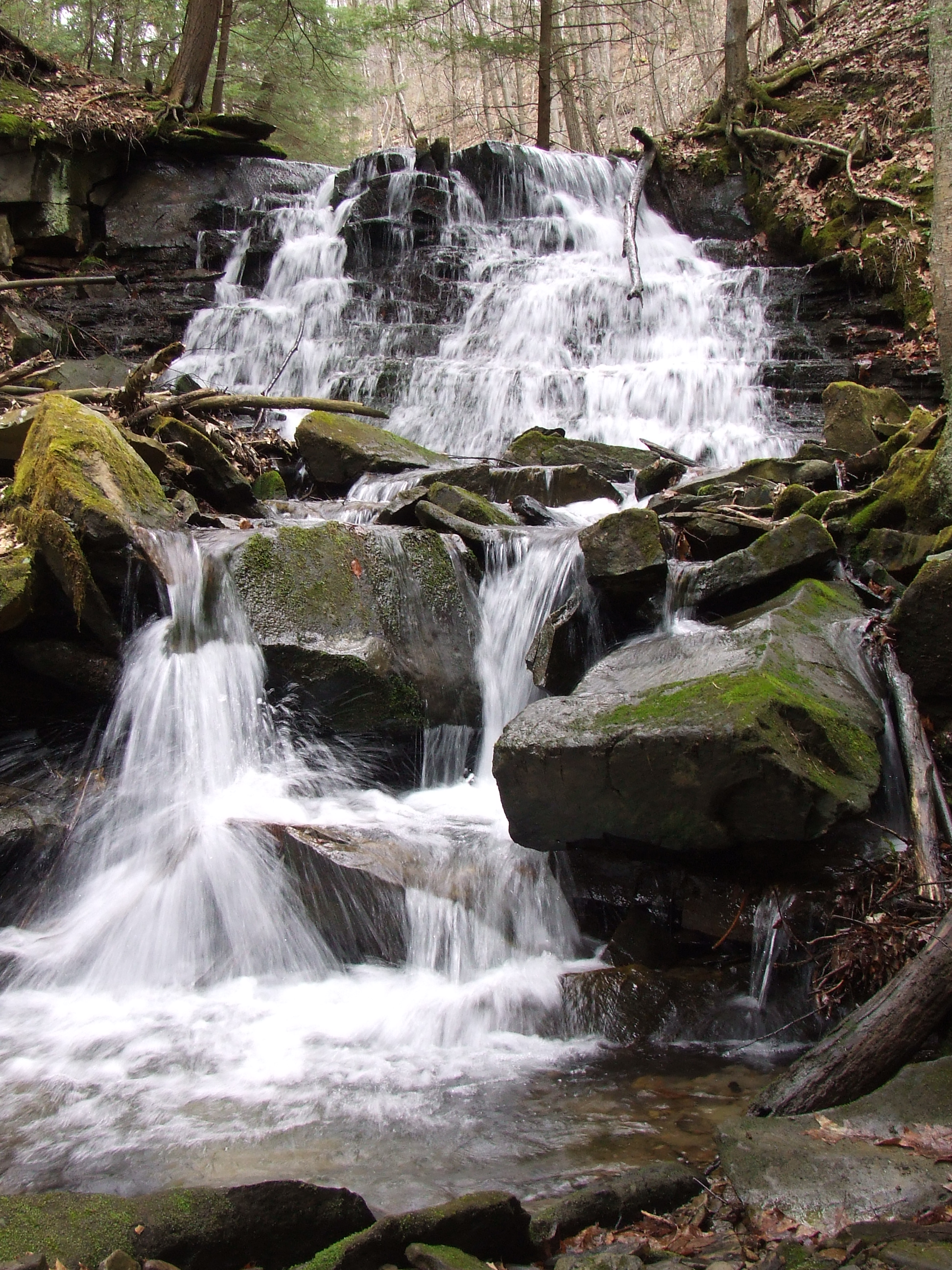
Greg Falls
This falls is not the easiest to find. There are two ways to get there. One requires the use of township maintained dirt roads which are not drivable in winter and spring.
Follow Pioneer Road to its base at the bike trail. There is a car parking area. From the parking area walk up hill along the road and look on the left for the sign and white blaze of the cross valley trail to the west side of the Gerard Hiking Trail.
Safer but longer
From the Petroleum Center parking area, start hiking along the paved Russell Corners Road. This road is the beginning of the bike trail. Head northwest, and you will be walking near the Creek. Make the left and continue on the bike trail. This trail continues along the creek, and then crosses over the Oil Creek. The bridge provides some beautiful views. Approximately 500 feet or so after crossing the bridge, you’ll find a dirt parking area to your left. Walk through this parking area and start walking uphill along Pioneer Road. On the left, you’ll find a trail. This is a white blaze cross valley section of the Gerard Hiking Trail and it leads to Greg Falls. It will be about 0.5 miles to the falls.