
Gerard Hiking Trail
This 36-mile loop trail is located within Oil Creek State Park and the Drake Well Museum property. It is a large loop trail that runs down the East and West sides of the Oil Creek Valley. There are four connecting trails that enable hikers to plan varying length hikes. The historic site of Drake Well is at the northern end; Rynd Farm is at the southern end.
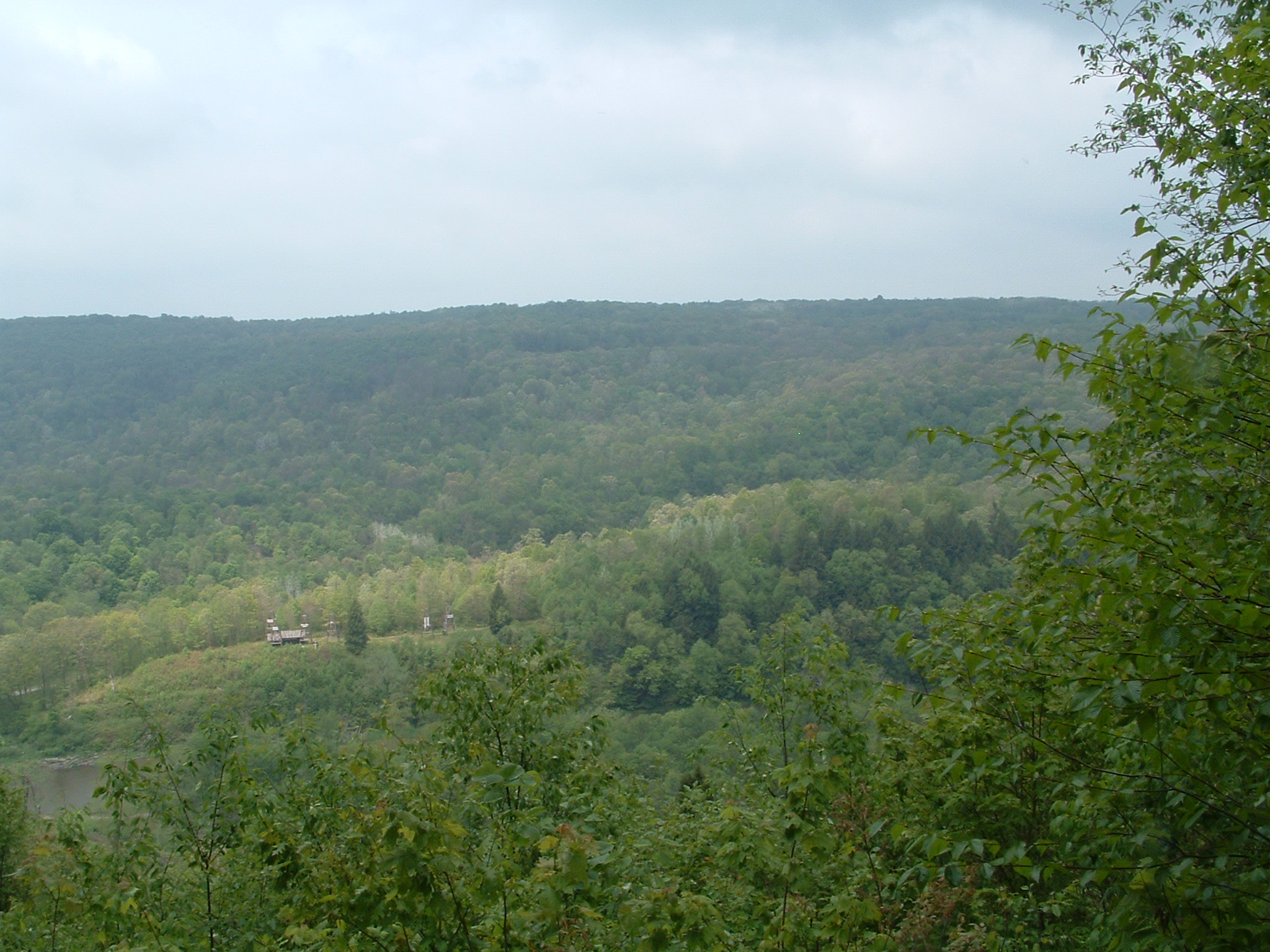
Oil Creek State Park consists of over 7,000 acres of wooded hills, deep hollows and over 12 miles of meandering Oil Creek in the scenic and historic Oil Creek gorge. Most of the oil boom locations have returned to the natural beauty of the wild, and look almost as they did before Drake drilled for oil in 1859.
The trail passes through or near most of the famous sites of early oil history, such as Miller Farm, Shaffer Farm, Boughton, Pioneer and Petroleum Centre. The trail will take the hiker past small waterfalls and scenic overlooks.
The main trail is marked with yellow blaze painted on trees. Connecting trails are marked with white blaze. A double blaze marks a sharp change in direction.
Drake Well Museum and Petroleum Centre (Egbert Farm) have picnic facilities, visitor centers, parking and restrooms. Blood Farm Day use Area also has picnic facilities and restrooms. Parking is allowed only at designated parking areas.
YouTube video of a hike on the Gerard Trail
YouTube video of the Wolfkill Run section of the Gerard Hiking Trail
The trail was named after Ray Gerard, park volunteer, who developed and maintained the trail for 16 years. Mr. Gerard passed away in January of 1997. Mr. Gerard organized the volunteer group, "The Over-The-Hill Gang" and the group is responsible for most maintenance of the trail. Thanks to these volunteers who have amassed over 12,000 hours in maintenance and clearing of the trail.
Titusville Herald June 17, 1982 Article about Ray Gerard and early days of the trail
Back to topOVERNIGHT CAMPING - (at shelter sites only)
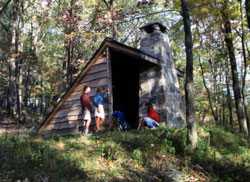
Adirondack Shelters
Adirondack-type shelters are open year-round for overnight backpackers. Trail shelter areas are located at Wolfkiel Run on the west side of the valley and Cow Run on the east. Each area has six shelters (each shelter accommodates 3 to 4 people), tent areas, plus restrooms and firewood (kindling is not provided). Water is supplied on a seasonal basis - please check when you register. Fires are allowed only in the central fire ring and shelter fireplaces.
DO NOT BUILD OTHER FIRE RINGS.
Camp stoves are allowed.
Firewood and water are usually available, but are not guaranteed.
Reservations must be made to use the shelters and tent areas. You may call Oil Creek State Park Office at (814) 676-5915. Information that will be requested is name, address, telephone number, description of vehicles, license numbers, number in party, parking area, direction of travel and date requested. Please make checks payable to the COMMONWEALTH OF P A. You may stay at the shelter areas one night. Shelters were designed to allow longer hiking trips, not for extended camping experiences. Pets are now allowed to stay in the shelter and tent areas.
- Maximum of two (2) shelters per reservation.
Fees, payable in advance, for use of shelters are as follows:
PA Resident:
- $4.00 per person (shelter or tent)
- 4 person maximum
- No charge for pets
Non-PA Resident:
- $5.00 per person (shelter or tent)
- 4 person maximum
- No charge for pets
After your backpacking trip, please fill out our backpacking survey
Thank you.
Back to topSection Lengths
Also see map of Gerard Hiking Trail Map
WEST SIDE: South to North - Start Rynd Farm Bridge
Mileages are by section length not total
- Petroleum Centre Road (T-617) - 4.00 miles
- Pioneer Road (T -621 ) - 3.45 miles
- Woltkiel Run Trail Shelter Area - 4.13 miles
- Miller Farm Road (T-635) - 0.62 miles
- Boughton Trail Junction - 1.80 miles
- Drake Well (Bike Trail Parking Lot) - 2.06 miles
EAST SIDE: South to North - Start Rynd Farm Bridge
Mileages are by section length not total
- Park Headquarters (S.R. 1004) - 4.00 miles
- Township Road (T-599) - 2.00 miles<.li>
- Cow Run Trail Shelter Area - 2.67 miles
- Miller Farm Road (T-635) - 3.75 miles
- Boughton Trail Junction - 4.45 miles
- Drake Well (Jersey Bridge) - 1.56 miles
CONNECTING TRAILS: West to East
- Trail Junction at Boughton over Suspension Bridge - 1.33 miles
- Wolfkiel Hollow to Miller Farm (Hill above Cemetery) - 0.50 miles
- Pioneer Junction to Bridge to East Side Trail - 1.50 miles
DIRECTIONS TO SHELTER AREAS and PARK OFFICE
COW RUN
Cow Run Parking Lot - Coordinates N 41 32' 14.7" - W 79 38' 28.5"
Titusville to Cow Run Shelters: Take PA 27 East to PA 227. Turn right onto PA 227 and travel to T-599 (at Burt's Car Museum sign) and turn right onto it. Travel to first intersection and turn right. Start watching for parking lot on left (surrounded with telephone poles).
Oil City to Cow Run Shelters: Route 8 North to Rouseville, turn right at red light onto Route 227 East continue to T-599 turn left (at Burt's Car Museum Sign), go to first intersection, turn right. Watch for parking lot on left (surrounded with telephone poles).
Cow Run Parking lot to Shelters: Follow old road behind gate, go thru gas well field, watch for white blaze on right, turn right at blaze and go thru woods to another gas well field, walk straight across gas well field to old road, turn left and go to shelters. (Cow Run Shelter - Coordinates N 41 32' 35.4" W 79 39' 01.7")
Park Office to Cow Run Parking lot: Leave office parking lot and turn left, go to the second road on left (Christy Hill Road) and follow it thru the first intersection. Then start watching for parking lot on left (surrounded with telephone poles).
WOLFKIEL
Wolfkiel Parking Lot - Coordinates N 41 34' 41.5" W 79 39' 35.7"
Oil City to Wolfkiel Trail Shelters: Route 8 North thru Rouseville, pass Cross Creek Resort and Golf Course on left, at the next dirt road (Black Road T-669) turn right and go to a T, turn right onto Dutch Hill Road (T-576 which will turn into Miller Farm Road T-635), after a sharp bend to the left watch for parking area on right. Walk down old road (behind gate) to shelters.
Titusville to Wolfkiel Trail Shelters: Route 8 South, continue through last red light leaving town. Turn left onto Dutch Hill Road (T-576). Follow Dutch Hill Road and it will turn into Miller Farm Road (T-635), after a sharp bend to the left watch for parking area on right.
Bike Trail to Wolfkiel: Bike trail south (from Titusville) to where dirt road (Miller Farm (T-635) crosses bike trail, watch for picnic pavilion on right, behind pavilion, take hiking trail to the right to Wolfkiel shelters.
Park Office to Wolfkiel Trail Shelters: Leave office parking lot and turn right, cross bridge, turn right and follow to Route 8. Turn right onto Route 8, pass Cross Creek Resort and Golf Course on left, at the next dirt road (Black Road T-669) turn right and go to a T, turn right onto Dutch Hill Road (T-576 - which will turn into Miller
Farm Road T-635), after a sharp bend to the left watch for parking area on right. Walk down old road (behind gate) to shelters.
(Wolfkiel Shelters - Coordinates N 41 34' 25.1" - W 79 39' 44.51")
PARK OFFICE:
From Titusville: Route 8 South, pass Cross Creek Resort and Golf Course on right, turn left at next paved road to the left (sign says Oil Creek State Park and Petroleum Centre 3 miles), follow about 3 miles to T, turn left, cross bridge, park office on left.
From Oil City: Route 8 North, continue on Route 8 thru red light at Rouseville, cross railroad tracks and a steel bridge, turn right at first road after next bridge, go approximately 3 miles cross railroad tracks. Turn right and cross bridge, park office on left.
Back to top
View of Oil Creek from West side trail
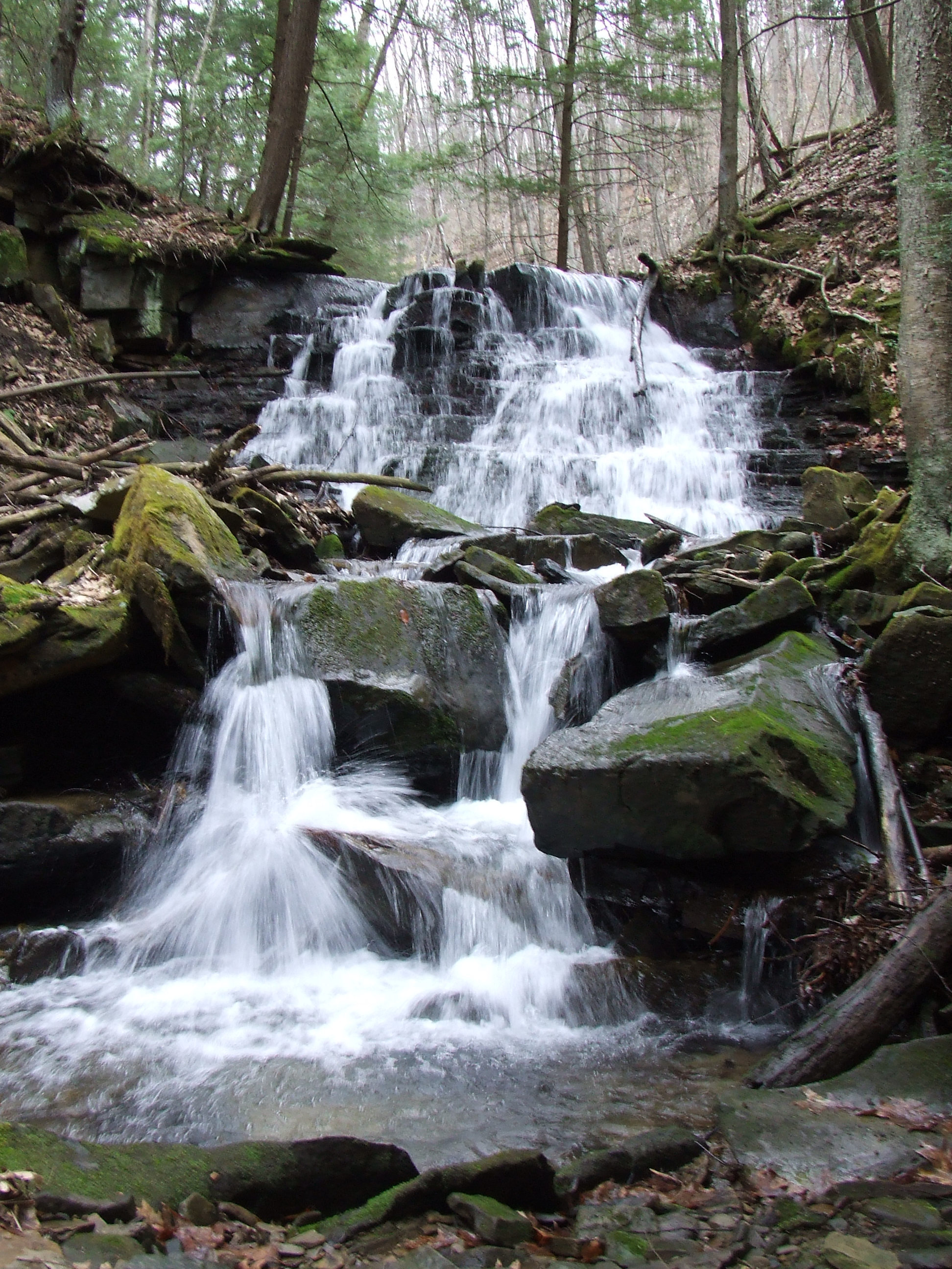
Miller Falls
View of Tableau in summer from East side trail
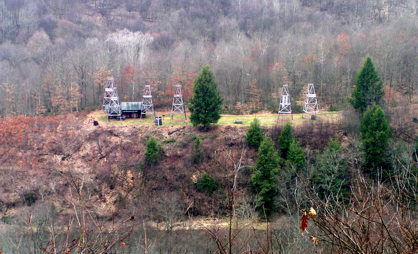
View of tableau in winter from East side trail

Boughton suspension bridge across Oil Creek

View of Oil Creek from west side trail
Membership and Support
We welcome new members and volunteers. There are many ways you can help.